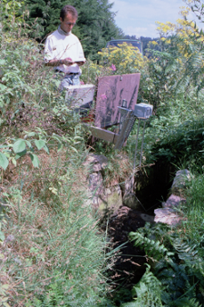
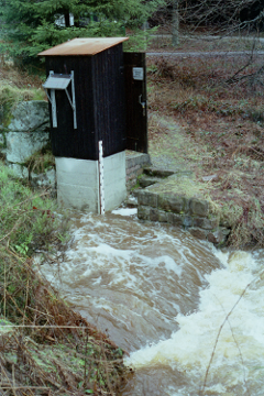
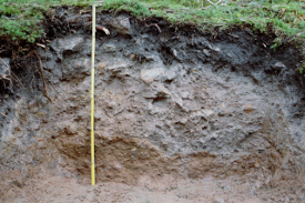
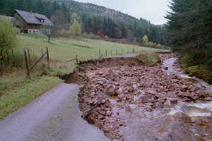
Dürreych experimental catchment
Jump to navigation
Jump to search
The printable version is no longer supported and may have rendering errors. Please update your browser bookmarks and please use the default browser print function instead.
Location
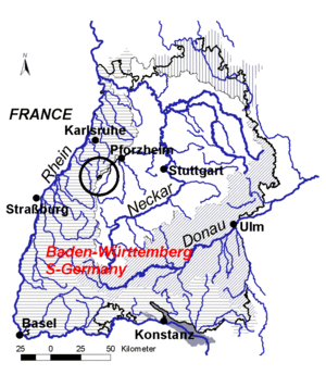
SW-Germany, Northern Black Forest
Catchment size
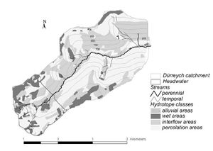
7 km²
Climate
humid - temperate 1500 mm/a precipitation 6-7 degree Celsius mean annual temperature
Geology
Red Sandstone / Buntsandstein
Topography
Mid moutain area, elevation 500 - 1000 m a.s.l.
Vegetation/Land use
Forest (mainly spruce)
Context of investigation
Identification of hydrological processes
Measurements/Equipment
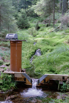
- 1 main gauge (1974-2005)
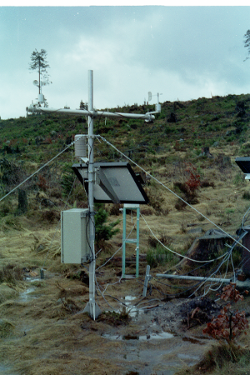
- 2 weather stations (until 2005)
- 4 soil moisture profiles (1996-1998)
Links to project webpages
References
- Casper, M., Gemmar, P., Gronz, O., Johst, M., Stuber, M. (2007): Fuzzy logic-based rainfall-runoff modelling using soil moisture measurements to represent system state. HYDROLOGICAL SCIENCES JOURNAL-JOURNAL DES SCIENCES HYDROLOGIQUES, 52(3), 478-490.
- Casper, M.C., Volkmann, H.N., Waldenmeyer, G., Plate, E.J. (2003): The separation of flow pathways in a sandstone catchment of the Northern Black Forest using DOC and a nested Approach. PHYSICS AND CHEMISTRY OF THE EARTH , 28(6-7), 269-275.
- Casper, M.C., Volkmann, H.N., Waldenmeyer, G. (2004): Zwischenabfluss/hypodermischer Abfluss. Fallbeispiel: Einzugsgebiet des Dürreychbaches (Nordschwarzwald). In: Bronstert, A. (ed.): Prozesse der Abflussbildung, Forum für Hydrologie und Wasserbewirtschaftung, 13.05: 69-78, in German.
- Casper, M. (2002): Die Identifikation hydrologischer Prozesse im Einzugsgebiet des Dürreychbaches (Nordschwarzwald), ,Dissertation, Karlsruhe.
- Schädel, W. (2006): Schritte zur Verbesserung der Hochwasserfrühwarnung mittels Online-Bodenfeuchtemessungen, Mitteilungen des Instituts für Wasser und Gewässerentwicklung, Bereich Wasserwirtschaft und Kulturtechnik mit Theodor-Rehbock-Wasserbaulaboratorium ; Band 234, Dissertation Universität Karlsruhe
- Waldenmeyer, G., Casper, M. (2001): Identification of hydrotopes in a small forested catchment (Dürreych, Black Forest, Germany)in: Leibundgut, C., Uhlenbrook, S., McDonnell, J.J. (2001): Runoff generation and implication for river basin modelling, Freiburger Schriften zur Hydrologie, 13.
- Waldenmeyer, G. (2002): Abflussbildung und Regionalisierung in einem forstlich genutzten Einzugsgebiet (Dürreychtal, Nordschwarzwald). Diss. Universität Karlsruhe (TH). Karlsruher Schriften zur Geographie und Geoökologie, 17, Karlsruhe.
