File:SantMiquel gauging stations.png
Jump to navigation
Jump to search
No higher resolution available.
SantMiquel_gauging_stations.png (600 × 430 pixels, file size: 284 KB, MIME type: image/png)
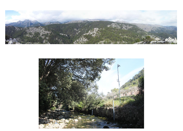
Delimitation of the Sant Miquel catchment. All the different gauging stations and check dams present in the catchment have been highlighted. The area included in the catchment which belongs to the Natura 2000 network has been also highlighted.
File history
Click on a date/time to view the file as it appeared at that time.
| Date/Time | Thumbnail | Dimensions | User | Comment | |
|---|---|---|---|---|---|
| current | 14:09, 19 February 2016 | | 600 × 430 (284 KB) | Thomas (talk | contribs) | Delimitation of the Sant Miquel catchment. All the different gauging stations and check dams present in the catchment have been highlighted. The area included in the catchment which belongs to the Natura 2000 network has been also highlighted. |
You cannot overwrite this file.
File usage
The following page uses this file: