Uploads by Thomas
Jump to navigation
Jump to search
This special page shows all uploaded files.
| Date | Name | Thumbnail | Size | Description | Versions |
|---|---|---|---|---|---|
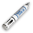
| 09:53, 8 November 2013 | Ml3 deltaT.jpg (file) |  |
15 KB | delta T ML3 probe | 1 |
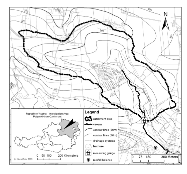
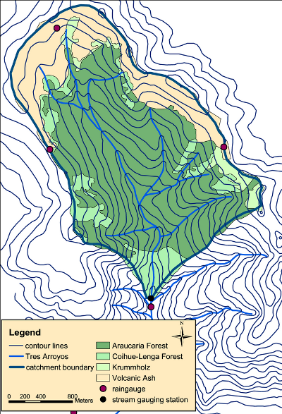
| 13:20, 7 November 2013 | HOAL.png (file) |  |
292 KB | Catchment HOAL | 1 |
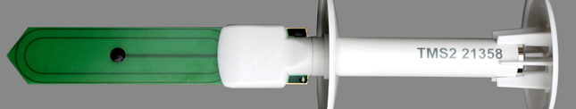
| 09:32, 26 September 2013 | Tms1.jpg (file) | 31 KB | TMS soil moisture sensor | 1 | |
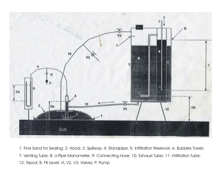
| 15:51, 14 March 2013 | Hood infiltrometer.png (file) |  |
198 KB | Sketch of hood infiltrometer | 1 |
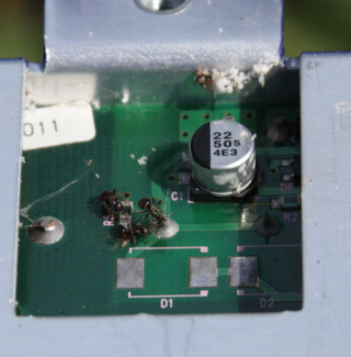
| 12:51, 21 February 2013 | Dead ants.png (file) |  |
173 KB | Dead ants on logger circuit board | 1 |
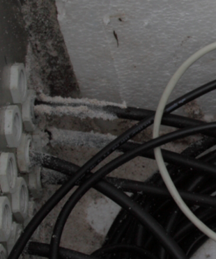
| 12:39, 21 February 2013 | Ant track.png (file) |  |
183 KB | ant track on cable in logger box | 1 |
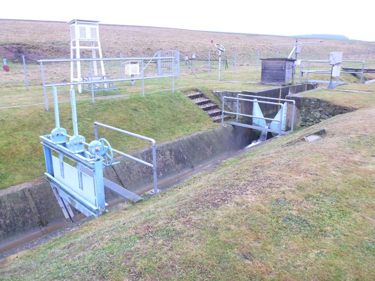
| 11:42, 10 January 2013 | Weir Schaefertalbach.JPG (file) |  |
239 KB | V-weir of the Schäfertal with meteorological station. | 1 |
| 10:33, 30 November 2012 | Snow pillow Kaunertal.jpg (file) |  |
194 KB | Snow pillow in the Kaunertal Austria Alps | 1 |
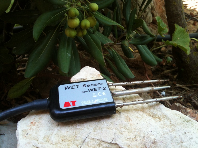
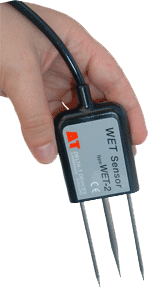
| 12:49, 17 October 2012 | Wetsensor.jpg (file) |  |
190 KB | detail image of the delta t Wet sensor | 1 |
| 17:18, 9 February 2012 | Mapkl.png (file) |  |
276 KB | Malalcahuello catchment Chile | 1 |
| 16:57, 8 February 2012 | HM chamber.png (file) |  |
292 KB | Chamber measurment of CH4 | 1 |
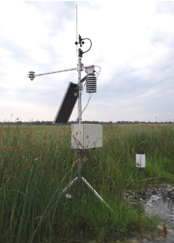
| 16:55, 8 February 2012 | HM meteorology.png (file) |  |
217 KB | Meteorological station Hüttelmoor | 1 |
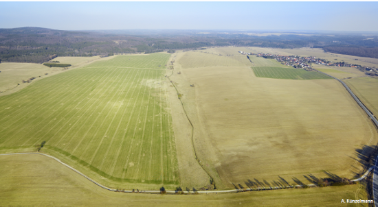
| 13:32, 6 February 2012 | Areal view Schaefertal.png (file) |  |
273 KB | areal view Schäfertal catchment | 1 |
| 13:19, 6 February 2012 | HOBO snow.png (file) |  |
281 KB | Snow hight via temperature | 1 |
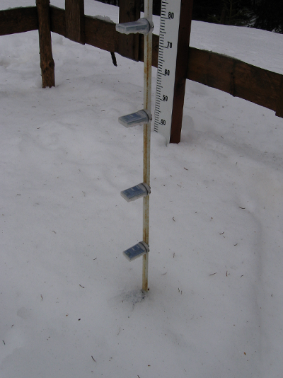
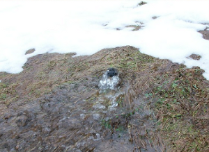
| 09:40, 13 October 2011 | Snow overland flow schaefertal.png (file) |  |
122 KB | overland flow on snow cover Schäfertal | 1 |
| 11:32, 25 September 2011 | Pipeflow Weisseritz.png (file) |  |
129 KB | pipeflow hillslope in the headwater of the Weisseritz river close to gauge Rehefeld | 1 |
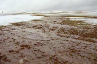
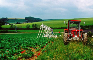
| 12:41, 24 September 2011 | Overland flow Weiherbach.png (file) |  |
145 KB | overland flow Weiherbach catchment | 1 |
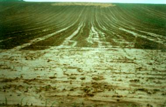
| 12:39, 24 September 2011 | Sprinklin Weiherbach.png (file) |  |
140 KB | sprinkling experiment in the Weiherbach catchment | 1 |
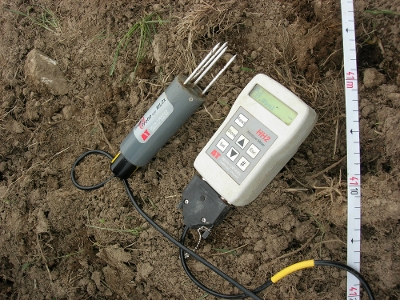
| 14:06, 9 September 2011 | ThetaprobeMl2x.jpg (file) |  |
135 KB | soilmoisture probe ML2X with HH2 | 1 |
| 14:04, 9 September 2011 | Ml2x.jpg (file) |  |
135 KB | Reverted to earlier revision | 4 |
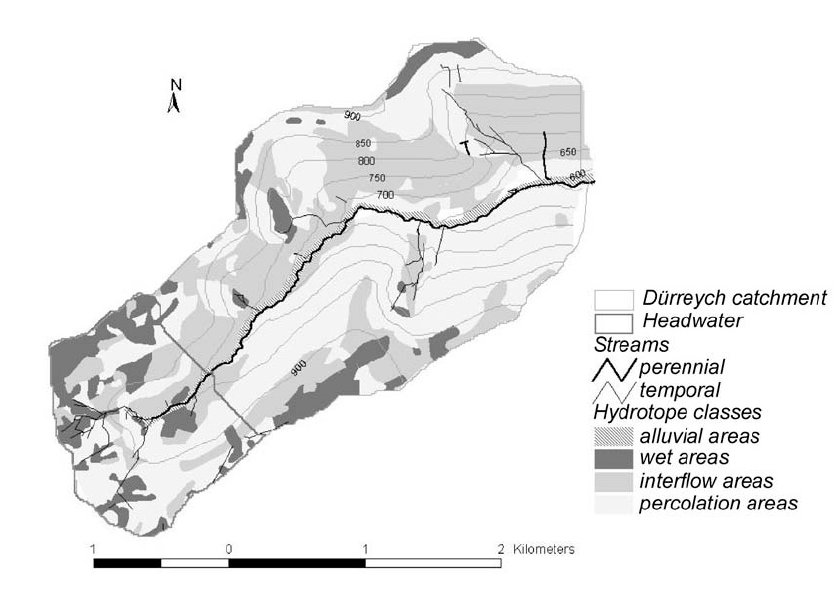
| 11:39, 12 August 2011 | Dyrreych catchment.jpg (file) |  |
61 KB | Dürreich catchment | 2 |
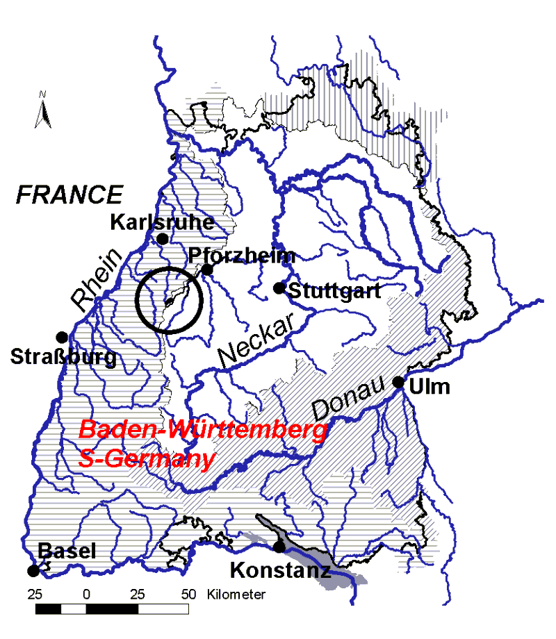
| 19:56, 22 July 2011 | Dyreich badenwürttemberg.GIF (file) |  |
64 KB | location of the dyrreich catchment | 1 |
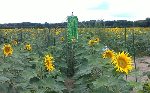
| 15:30, 21 July 2011 | Cosmic ray2.jpg (file) |  |
145 KB | Measurement device | 1 |
| 15:29, 21 July 2011 | Cosmic ray1.JPG (file) |  |
132 KB | cosmic ray probe hydroinnova | 1 |
| 14:45, 21 July 2011 | Huettelmoor view.JPG (file) |  |
121 KB | view from the North into the Hüttelmoor | 1 |
| 14:41, 21 July 2011 | Dune breach.JPG (file) |  |
140 KB | dune breach at the baltic sea Hüttelmoor | 1 |
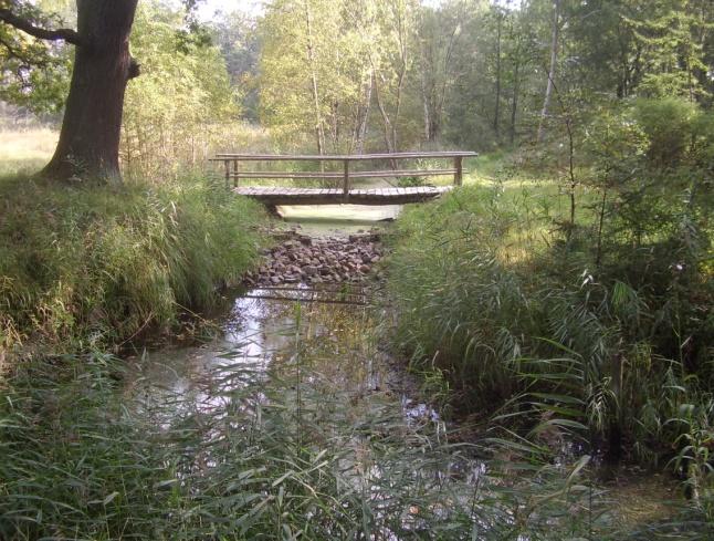
| 14:36, 21 July 2011 | Sohlschwelle.jpg (file) |  |
75 KB | groundsill Hüttelmoor | 1 |
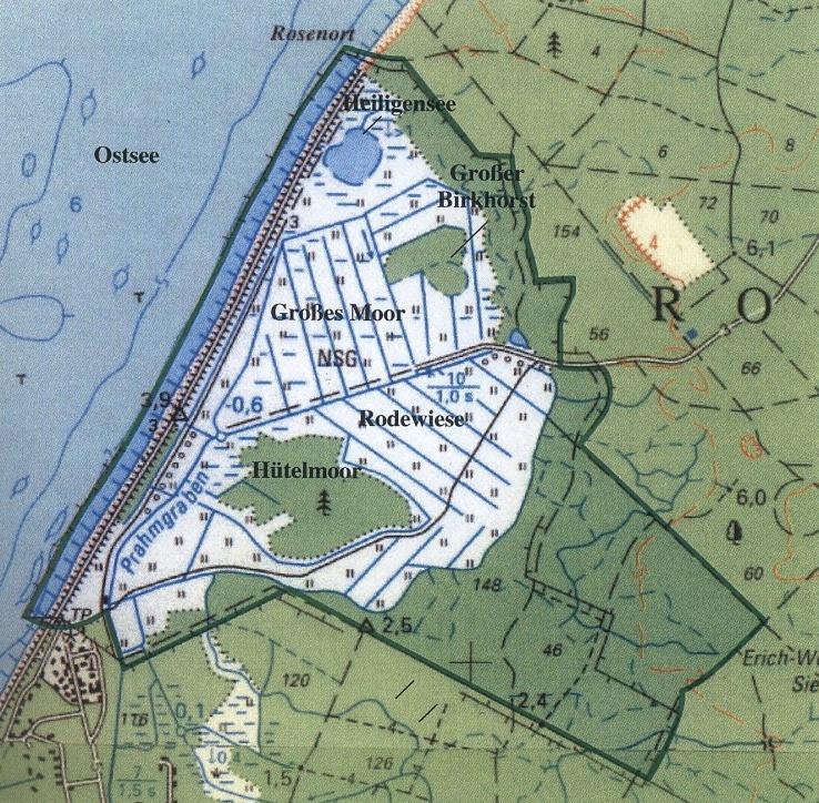
| 14:33, 21 July 2011 | NSG-Karte.jpg (file) |  |
142 KB | Hüttelmoor catchment | 1 |
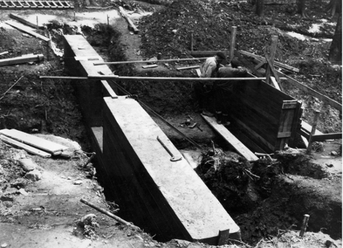
| 12:39, 21 July 2011 | Subsurface conrete dam schaefertal.jpg (file) |  |
139 KB | Construction of the subsurface concrete dam of the Schaefertal catchment | 1 |
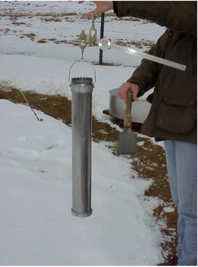
| 12:34, 21 July 2011 | Snow density water equivalent.jpg (file) |  |
137 KB | snow density and water equivalent measurement Schaefertal | 1 |
| 12:19, 21 July 2011 | Multiparameter ms5 ott.jpg (file) |  |
26 KB | multiparameter probe ms 5 ott | 1 |
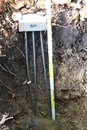
| 11:53, 21 July 2011 | TDR gley.JPG (file) |  |
140 KB | 60 cm TDR probe in a gley soil in the Becherbach catchment Weisseritz | 2 |
| 16:34, 20 July 2011 | Soil profile dye tracer.jpg (file) |  |
134 KB | Soil profile with dye tracer Cambisoil Rehefeld hillslope Weisseritz | 2 |
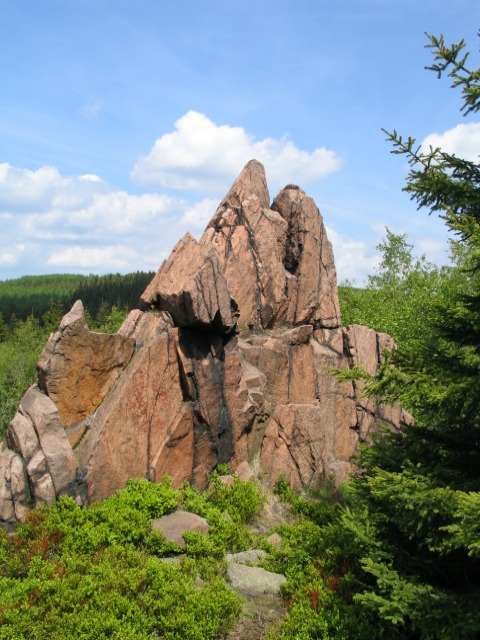
| 15:27, 20 July 2011 | Pramenac.jpg (file) |  |
120 KB | basalt block at the Pramenac mountain Weisesseritz | 1 |
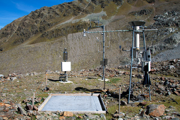
| 15:14, 20 July 2011 | Rehefeld meteostation.jpg (file) |  |
109 KB | meteorological station Rehefeld Weisseritz | 1 |
| 15:00, 20 July 2011 | Stemflow.JPG (file) |  |
141 KB | stem flow measured with davis Weisseritz | 1 |
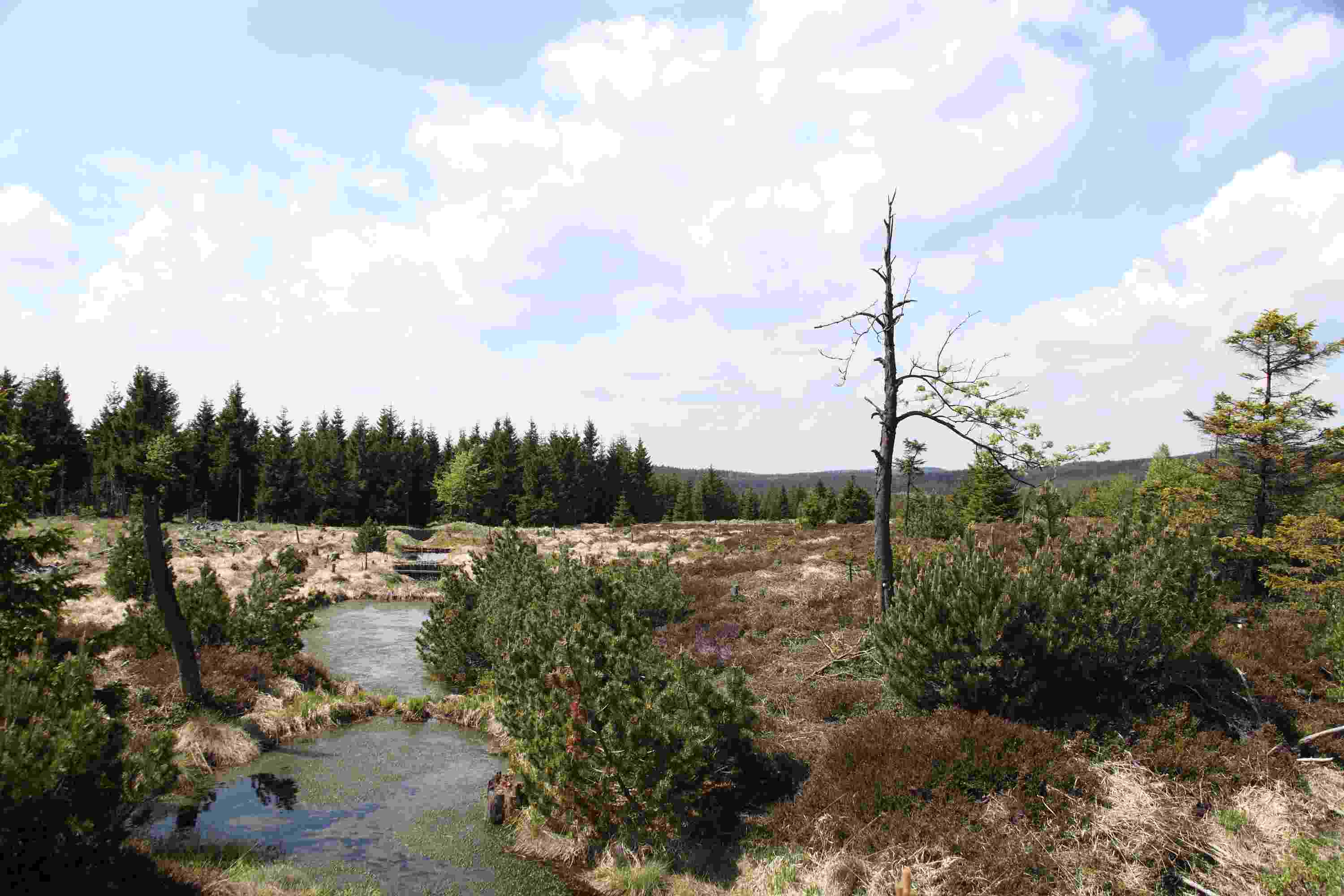
| 14:52, 20 July 2011 | Raised bog.jpg (file) |  |
141 KB | georgenfelder raised bog weisseritz catchment | 1 |
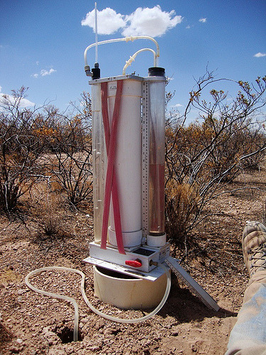
| 09:26, 20 July 2011 | Amoozi.jpg (file) |  |
138 KB | amoozemeter by P. Biro New Mexico US | 1 |
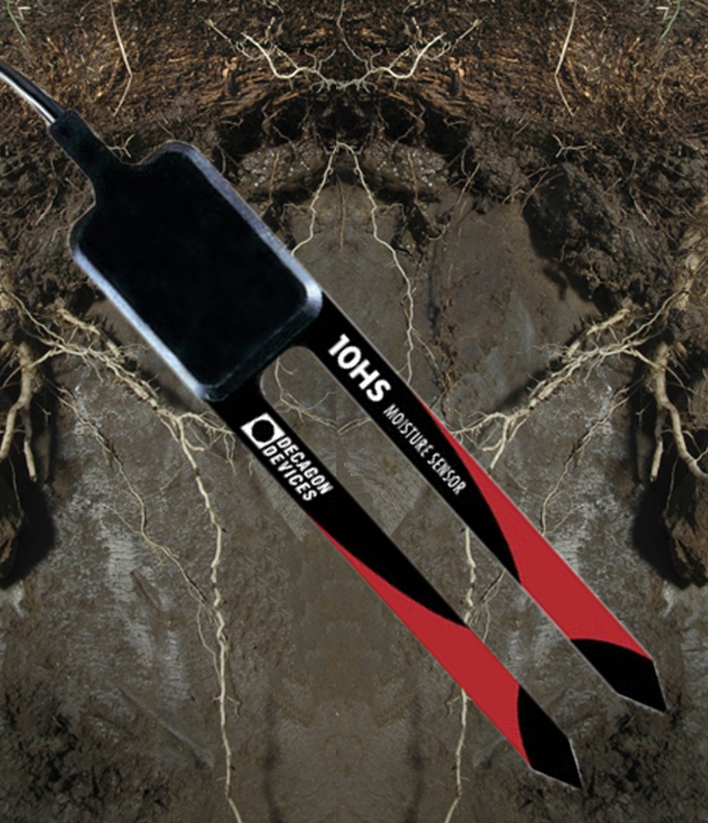
| 10:55, 9 June 2011 | Decagon 10HS.jpg (file) |  |
268 KB | Decagon 10HS probe | 1 |
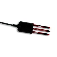
| 10:51, 9 June 2011 | Decagon 5 TM.jpg (file) |  |
6 KB | Decagon 5 TM probe | 1 |
| 10:43, 9 June 2011 | Wetsensor.gif (file) |  |
15 KB | delta t wet sensor | 1 |
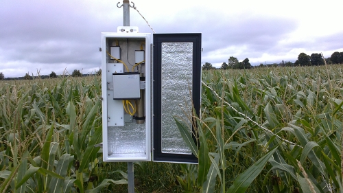
| 10:50, 23 October 2010 | IMG 3959.jpg (file) |  |
204 KB | em50 decagon logger | 1 |
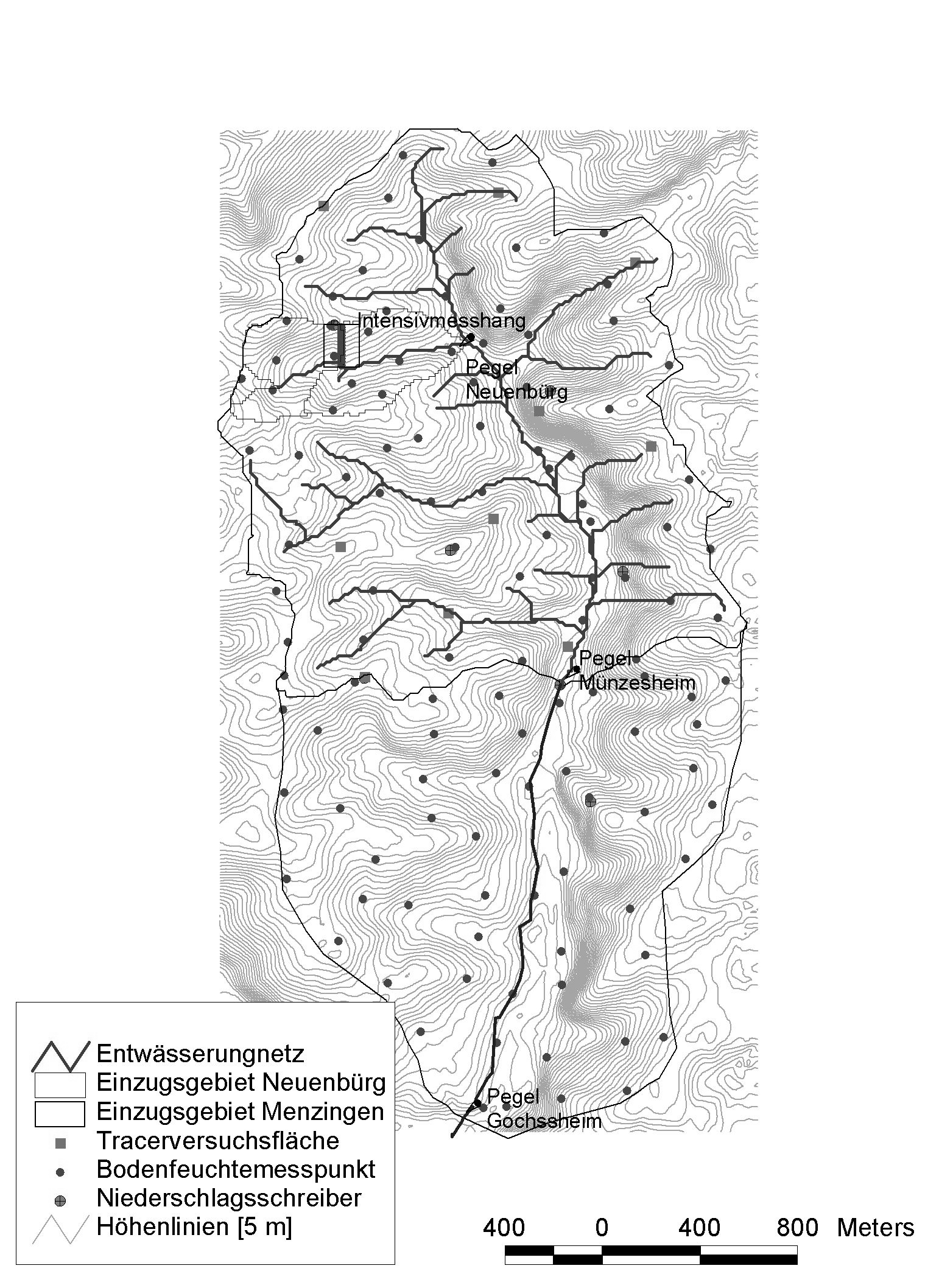
| 13:51, 22 September 2010 | Weiherbach catchment.png (file) |  |
842 KB | watershed and rivernetwork of the Weiherbach | 1 |
| 13:47, 22 September 2010 | Weiherbach landscape.png (file) |  |
690 KB | view of the landscape in the Weiherbach | 1 |
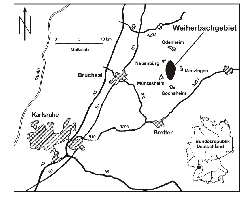
| 13:39, 22 September 2010 | Weiherbach postion.png (file) |  |
233 KB | position of the Weiherbach catchment | 1 |
| 12:25, 22 September 2010 | Schaefertal borchardt catchment.png (file) |  |
582 KB | View of the catchment Schaefertal after Borchardt, 1982 | 1 |
| 18:15, 18 December 2008 | Hood infiltometer.png (file) |  |
741 KB | Hood Infiltrometer | 1 |
| 11:46, 19 October 2007 | Hydra probe.jpg (file) |  |
27 KB | Hydra probe | 1 |
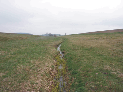
| 14:32, 24 August 2007 | Schäfertal view.png (file) |  |
196 KB | Typical view in to the catchment of the Schäfertal in direction of the high Harz with the Brocken | 1 |
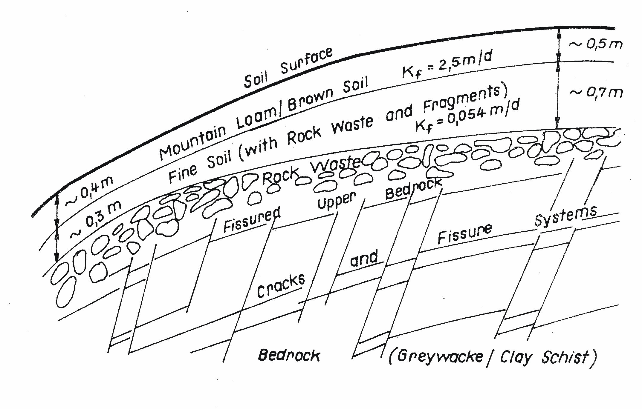
| 14:22, 24 August 2007 | Schäfertal geology.png (file) |  |
128 KB | Geology of a typical hillslope in the Schäfertal (Altermann, unpubished) | 1 |