File list
Jump to navigation
Jump to search
This special page shows all uploaded files.
| Date | Name | Thumbnail | Size | User | Description | Versions |
|---|---|---|---|---|---|---|
| 15:59, 12 November 2013 | Climatic conditions Rio Vauz.png (file) |  |
83 KB | Thomas | Climatic conditions in the lower Vauz catchment | 1 |
| 15:56, 12 November 2013 | Rio vauz.png (file) |  |
230 KB | Thomas | Rio Vauz catchment, Italien Alps | 1 |
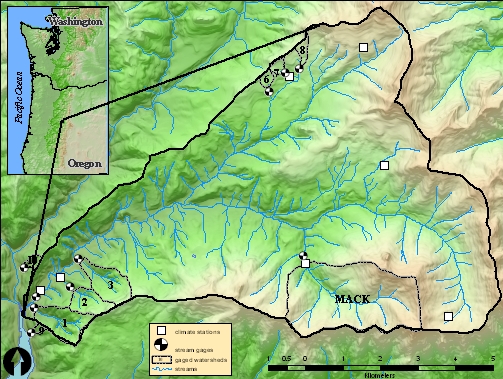
| 00:04, 10 November 2013 | HJ Andrews.jpg (file) |  |
240 KB | Thomas | Locatin of HJ Andrews Experimental Forest | 1 |
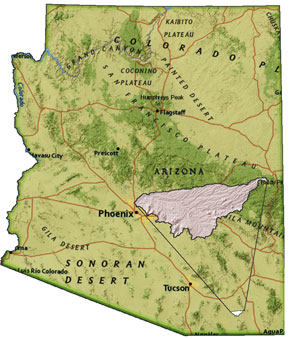
| 23:36, 9 November 2013 | WalnutGulch Map.jpg (file) |  |
36 KB | Thomas | Location of the Walnut Gulch Experimental Watershed, Arizona, USA | 1 |
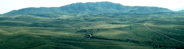
| 23:20, 9 November 2013 | Wng.jpg (file) | 19 KB | Thomas | View into the Walnut Gulch Experimental Watershed | 1 | |
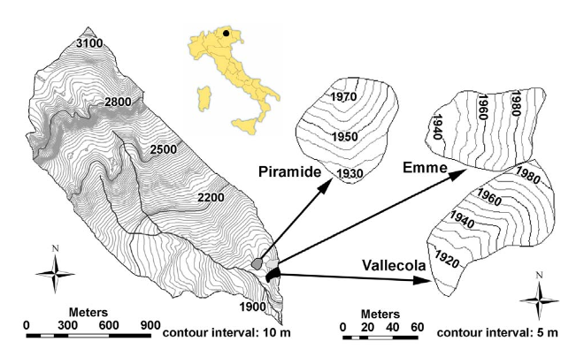
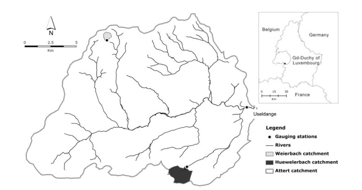
| 22:56, 9 November 2013 | Attert catchment.png (file) |  |
270 KB | Thomas | Attert catchment Luxembourg | 1 |
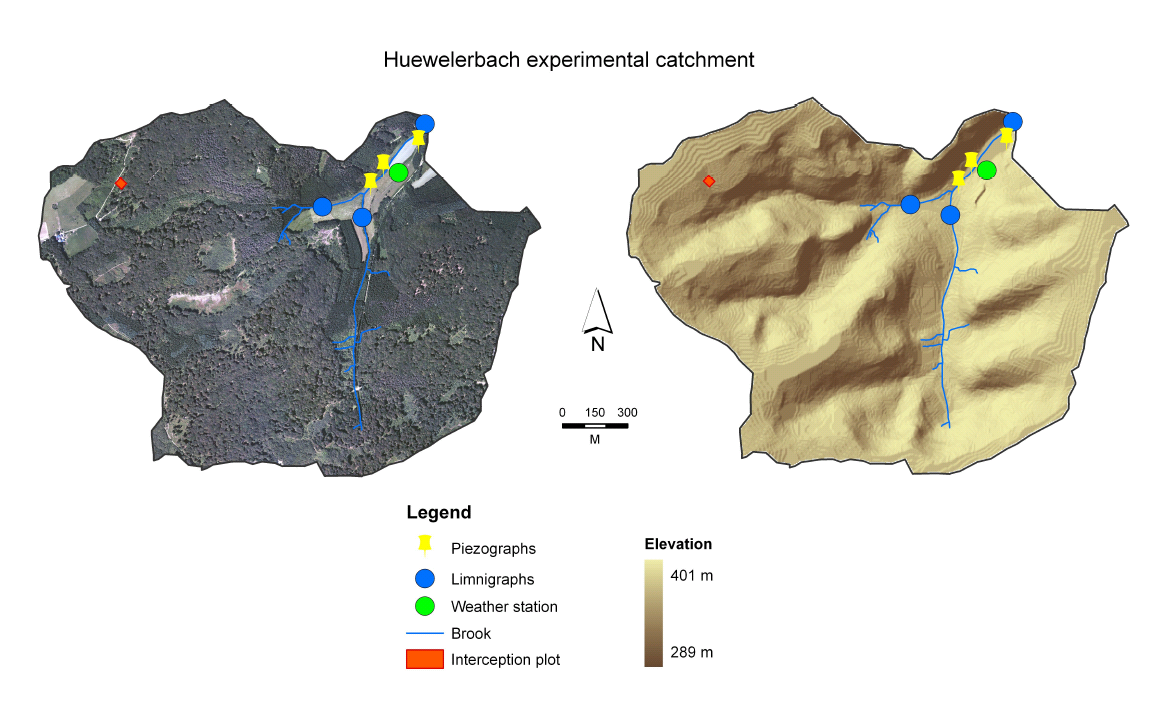
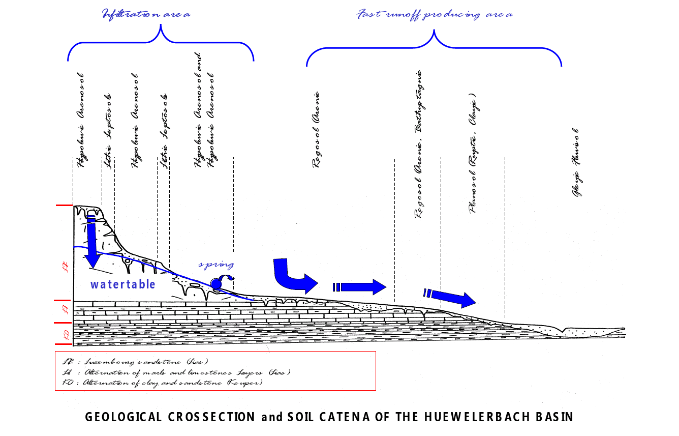
| 11:39, 8 November 2013 | Catchment Huewellebach.png (file) |  |
561 KB | Thomas | Huewellebach catchment with channel network and devices | 1 |
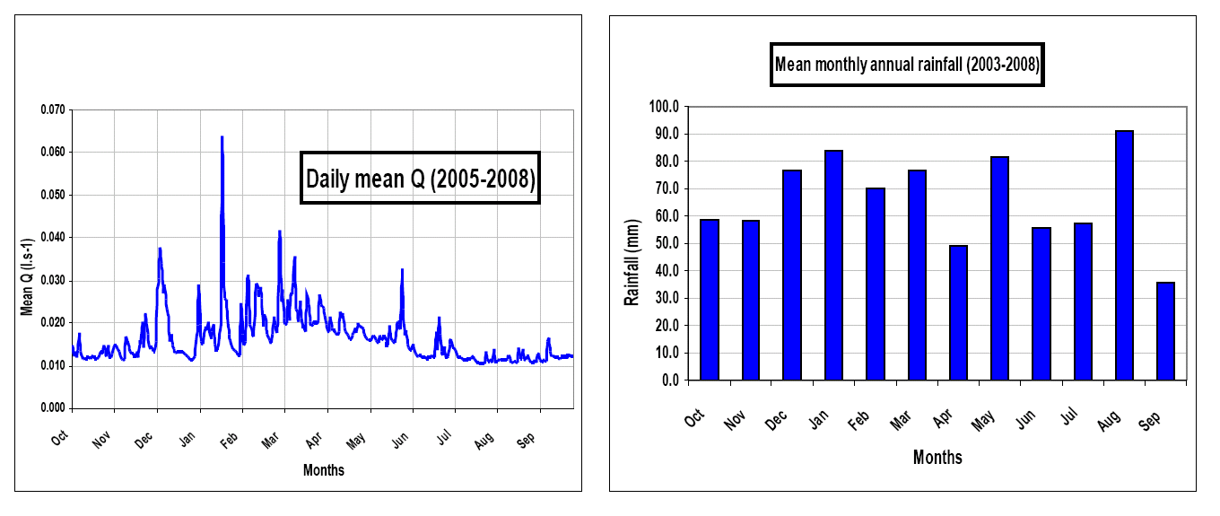
| 11:34, 8 November 2013 | Q P Huewellebach.png (file) |  |
66 KB | Thomas | Anual responce of P and Q in the Huewellebach | 1 |
| 11:31, 8 November 2013 | X.png (file) |  |
156 KB | Thomas | 1 | |
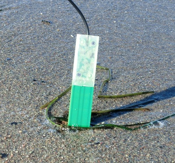
| 09:53, 8 November 2013 | Ml3 deltaT.jpg (file) |  |
15 KB | Thomas | delta T ML3 probe | 1 |
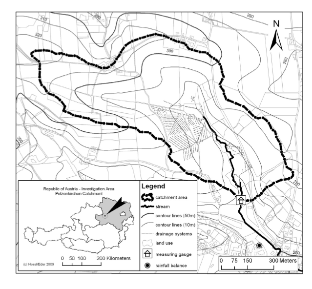
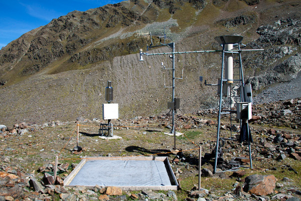
| 13:20, 7 November 2013 | HOAL.png (file) |  |
292 KB | Thomas | Catchment HOAL | 1 |
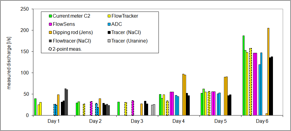
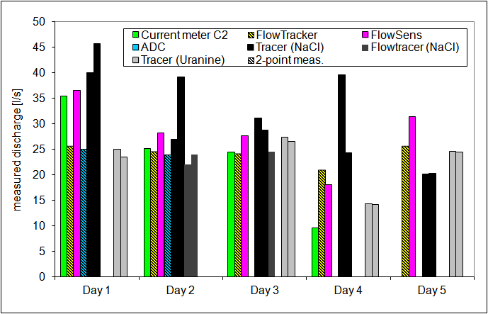
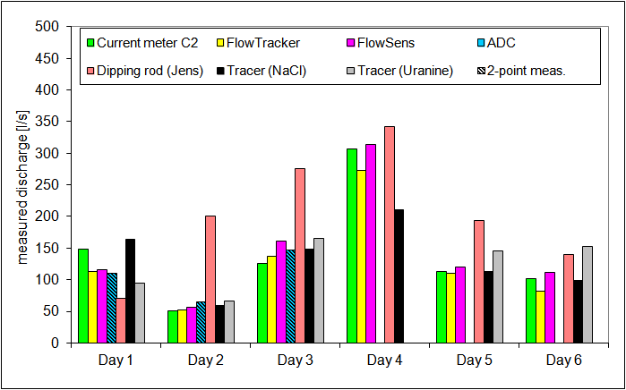
| 09:02, 10 October 2013 | 2013 discharge.png (file) |  |
15 KB | Till | comparison of discharge measurements, Harz 2013 | 1 |
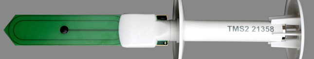
| 09:32, 26 September 2013 | Tms1.jpg (file) | 31 KB | Thomas | TMS soil moisture sensor | 1 | |
| 19:42, 9 May 2013 | SMT100 Wiki.jpg (file) |  |
139 KB | Dk9uv | 1 | |
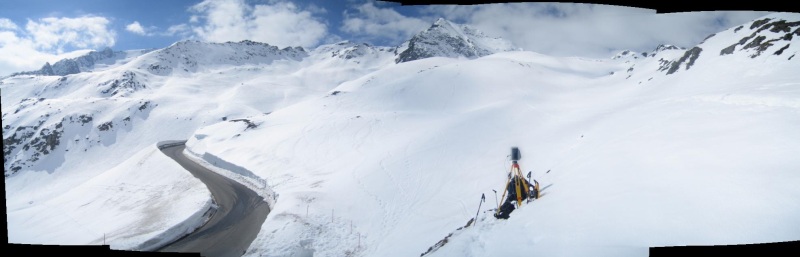
| 09:48, 26 April 2013 | TribleGX Panorama.jpg (file) |  |
59 KB | Till | Scanning snow cover using the Trimble GX in the Kaunertal, Austria. | 1 |
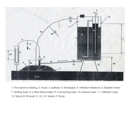
| 15:51, 14 March 2013 | Hood infiltrometer.png (file) |  |
198 KB | Thomas | Sketch of hood infiltrometer | 1 |
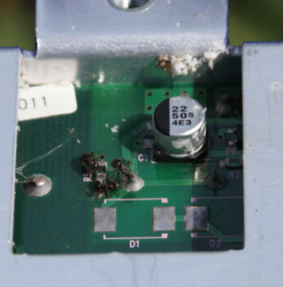
| 12:51, 21 February 2013 | Dead ants.png (file) |  |
173 KB | Thomas | Dead ants on logger circuit board | 1 |
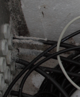
| 12:39, 21 February 2013 | Ant track.png (file) |  |
183 KB | Thomas | ant track on cable in logger box | 1 |
| 17:22, 4 February 2013 | P1030849.JPG (file) |  |
3.4 MB | Jmigueldelgado | Experimental setup measuring the outflow from subcatchment dominated by badlands. | 1 |
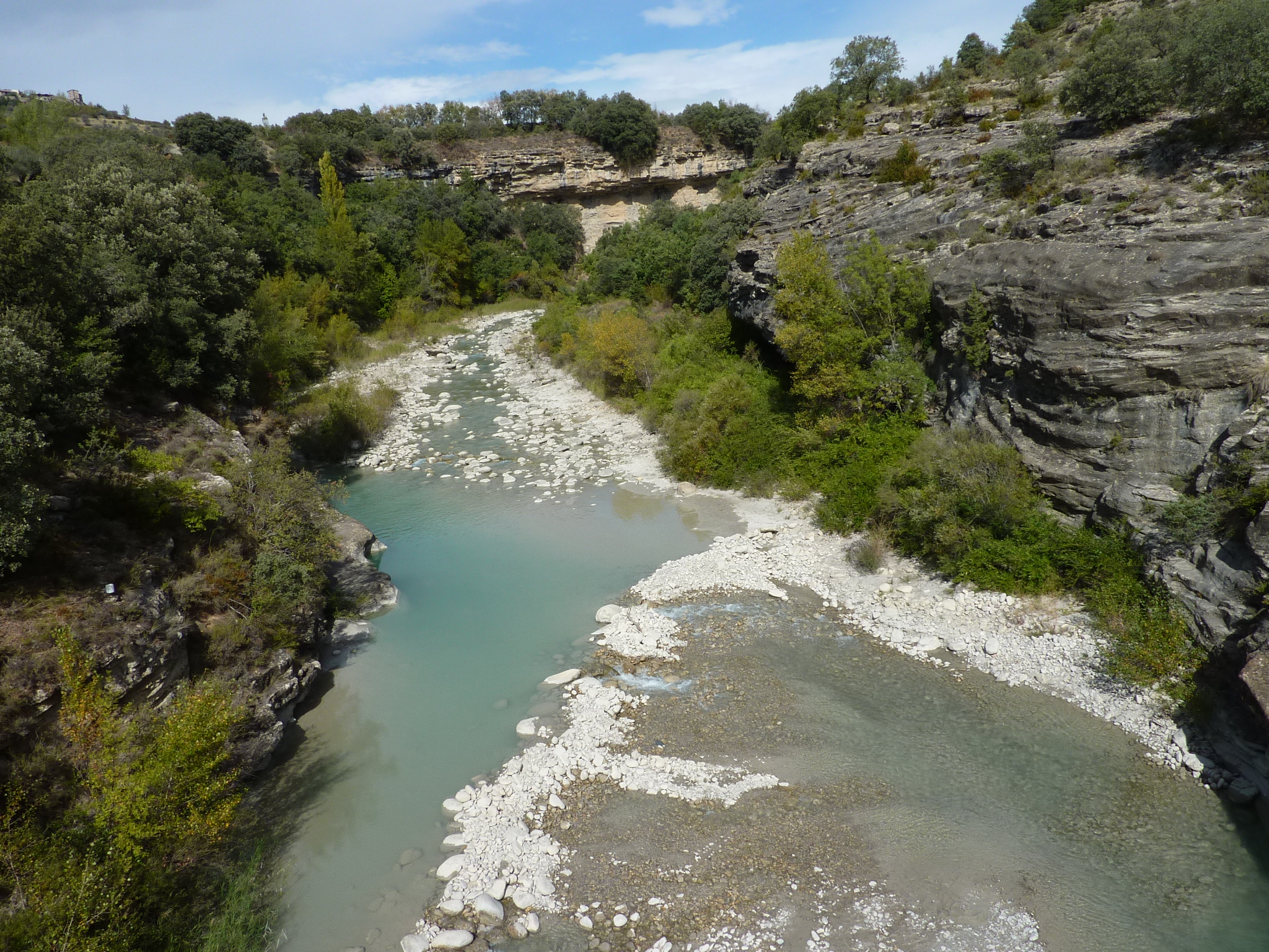
| 17:17, 4 February 2013 | P1050772.JPG (file) |  |
1.57 MB | Jmigueldelgado | Isábena River. Credits to Sandra Werb. | 1 |
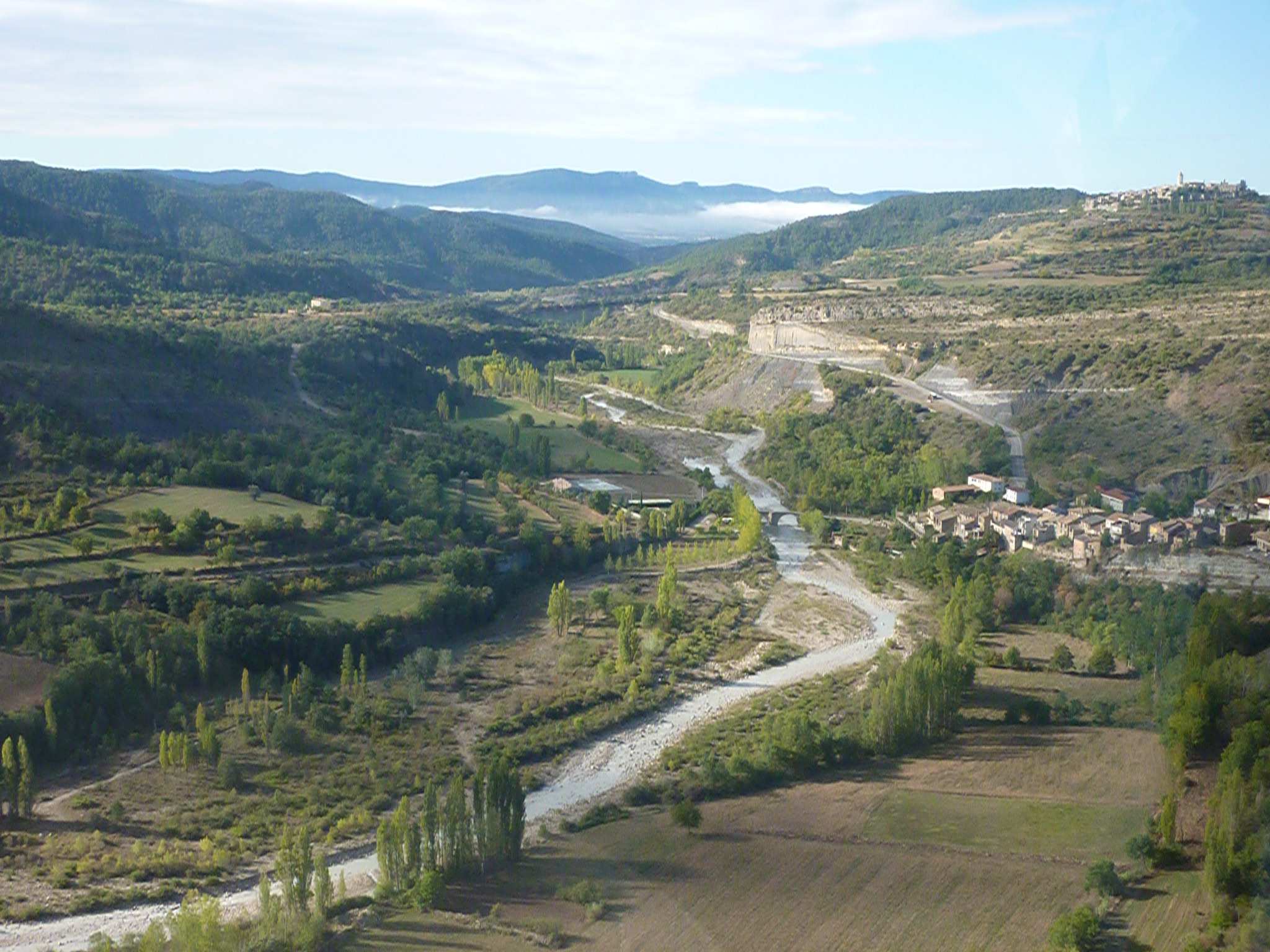
| 17:11, 4 February 2013 | LaPueblaDeRoda.JPG (file) |  |
279 KB | Jmigueldelgado | Aerial view of the Isábena River near Puebla de Roda. Credits to Sandra Werb. | 1 |
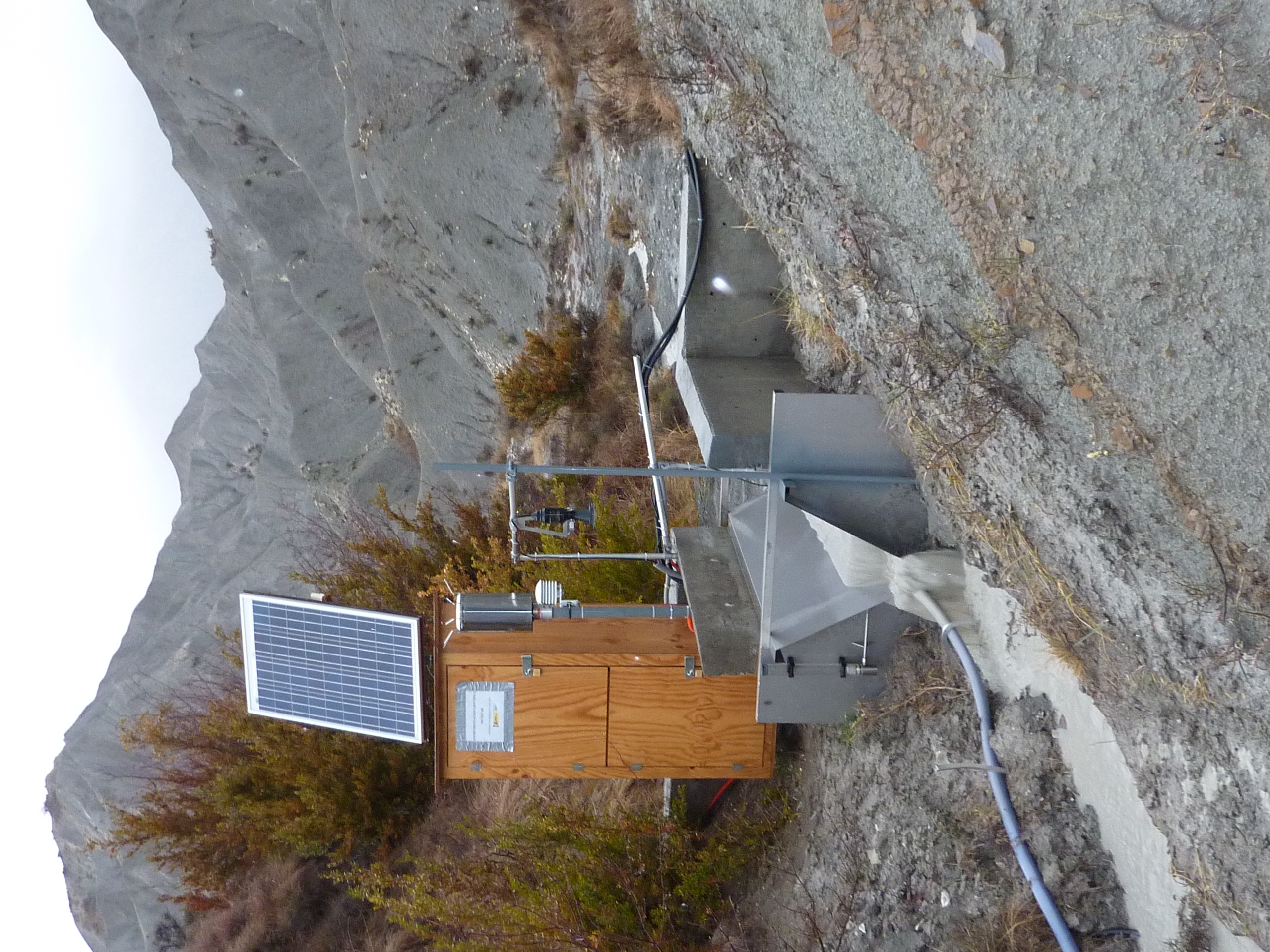
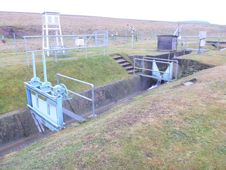
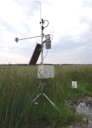
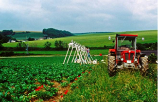
| 11:42, 10 January 2013 | Weir Schaefertalbach.JPG (file) |  |
239 KB | Thomas | V-weir of the Schäfertal with meteorological station. | 1 |
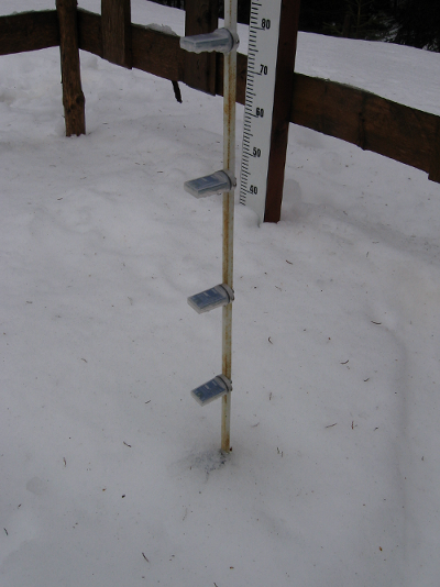
| 10:33, 30 November 2012 | Snow pillow Kaunertal.jpg (file) |  |
194 KB | Thomas | Snow pillow in the Kaunertal Austria Alps | 1 |
| 16:33, 2 November 2012 | 2012 discharge.png (file) |  |
15 KB | Till | Discharge measurement method comparison 2012, Harz | 1 |
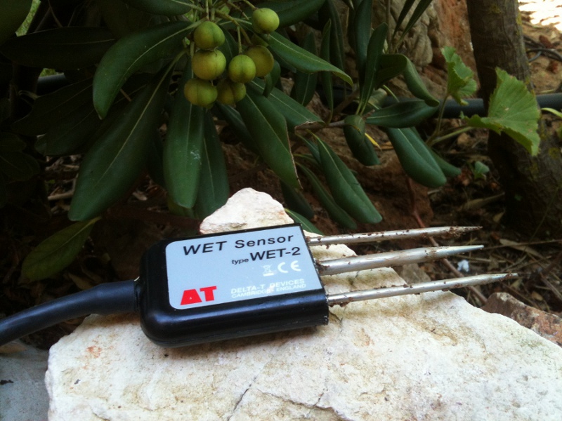
| 12:49, 17 October 2012 | Wetsensor.jpg (file) |  |
190 KB | Thomas | detail image of the delta t Wet sensor | 1 |
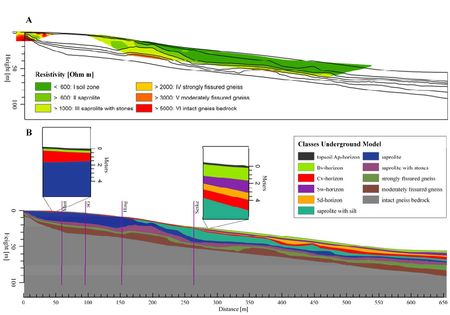
| 12:43, 3 April 2012 | ElectricalResisitivityProfileRepresentativeHillslope.jpg (file) |  |
31 KB | Ban | A: Electrical resistivity profiles Q10 (small, left) and Q12 (large, right) aligned with the representative hillslope. Black lines show the boundaries of the weathering classes. B: Underground model of the Wettzell hillslope. The surface gradient correspo | 1 |
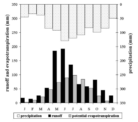
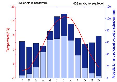
| 12:39, 3 April 2012 | ClimateChartWeatherStationHoellensteinKraftwerk.jpg (file) |  |
31 KB | Ban | Climate chart of the nearby weather station Höllenstein-Kraftwerk. The red line indicates the monthly mean temperature. Dark blue bars represent the monthly sum of precipitation; light blue bars represent monthly sums of potential evapotranspiration acco | 1 |
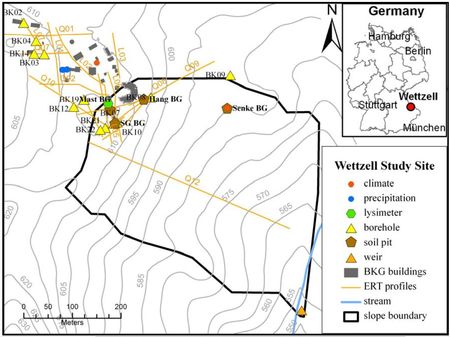
| 11:51, 3 April 2012 | HoellensteinHeadwaterCatchment.jpg (file) |  |
44 KB | Ban | 2 | |
| 17:18, 9 February 2012 | Mapkl.png (file) |  |
276 KB | Thomas | Malalcahuello catchment Chile | 1 |
| 16:57, 8 February 2012 | HM chamber.png (file) |  |
292 KB | Thomas | Chamber measurment of CH4 | 1 |
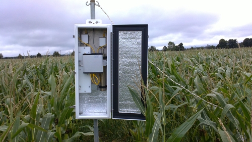
| 16:55, 8 February 2012 | HM meteorology.png (file) |  |
217 KB | Thomas | Meteorological station Hüttelmoor | 1 |
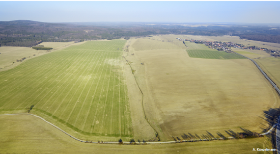
| 13:32, 6 February 2012 | Areal view Schaefertal.png (file) |  |
273 KB | Thomas | areal view Schäfertal catchment | 1 |
| 13:19, 6 February 2012 | HOBO snow.png (file) |  |
281 KB | Thomas | Snow hight via temperature | 1 |
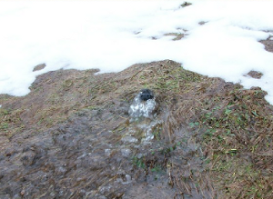
| 09:40, 13 October 2011 | Snow overland flow schaefertal.png (file) |  |
122 KB | Thomas | overland flow on snow cover Schäfertal | 1 |
| 11:32, 25 September 2011 | Pipeflow Weisseritz.png (file) |  |
129 KB | Thomas | pipeflow hillslope in the headwater of the Weisseritz river close to gauge Rehefeld | 1 |
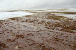
| 12:41, 24 September 2011 | Overland flow Weiherbach.png (file) |  |
145 KB | Thomas | overland flow Weiherbach catchment | 1 |
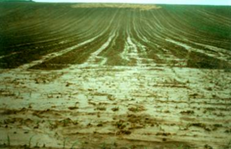
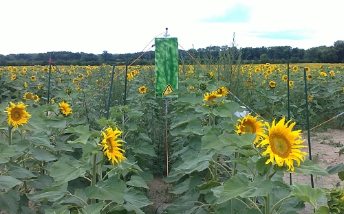
| 12:39, 24 September 2011 | Sprinklin Weiherbach.png (file) |  |
140 KB | Thomas | sprinkling experiment in the Weiherbach catchment | 1 |
| 13:46, 20 September 2011 | 2011 discharge.png (file) |  |
13 KB | Till | comparison of discahrge measurements | 1 |
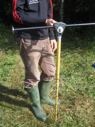
| 09:43, 19 September 2011 | Dippingrod.JPG (file) |  |
68 KB | Till | dipping rod according to Jens | 1 |
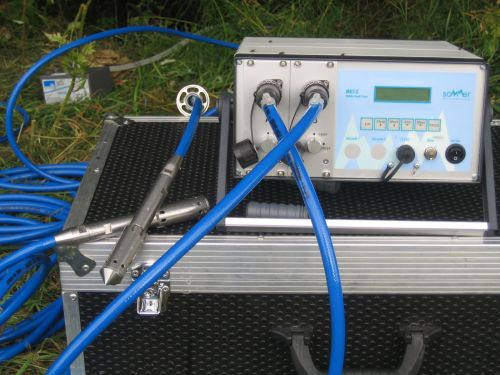
| 09:33, 19 September 2011 | MFT-2.JPG (file) |  |
53 KB | Till | Sommer MFT-2 fluorimeter | 1 |
| 09:25, 19 September 2011 | ADC.JPG (file) |  |
72 KB | Till | Ott ADC discharge measurement device | 1 |
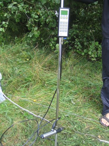
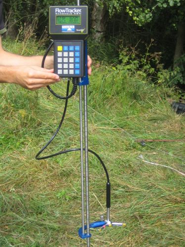
| 09:23, 19 September 2011 | Flowtracker.JPG (file) |  |
69 KB | Till | Flowtracker discharge measurement device | 1 |
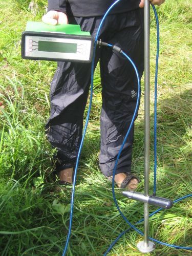
| 09:19, 19 September 2011 | Flowsens.JPG (file) |  |
72 KB | Till | Flowsens flow velocity/discharge measurement | 1 |
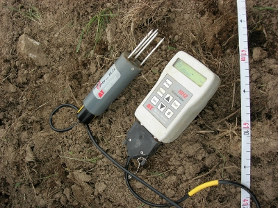
| 14:06, 9 September 2011 | ThetaprobeMl2x.jpg (file) |  |
135 KB | Thomas | soilmoisture probe ML2X with HH2 | 1 |
| 14:04, 9 September 2011 | Ml2x.jpg (file) |  |
135 KB | Thomas | Reverted to earlier revision | 4 |
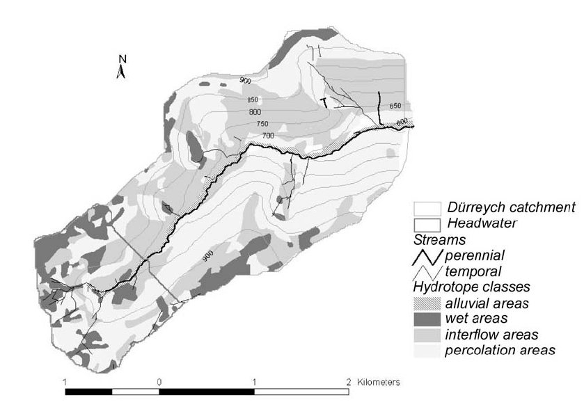
| 11:39, 12 August 2011 | Dyrreych catchment.jpg (file) |  |
61 KB | Thomas | Dürreich catchment | 2 |
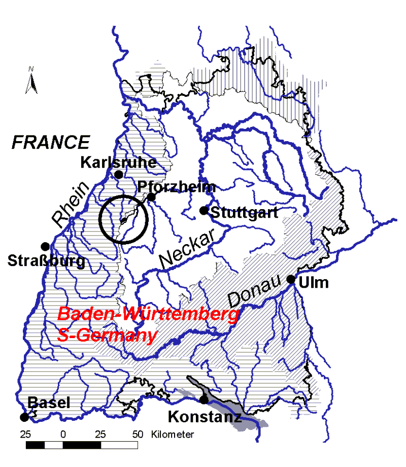
| 19:56, 22 July 2011 | Dyreich badenwürttemberg.GIF (file) |  |
64 KB | Thomas | location of the dyrreich catchment | 1 |
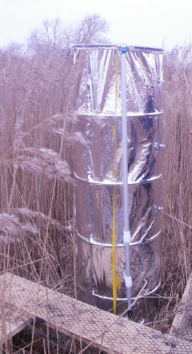
| 15:30, 21 July 2011 | Cosmic ray2.jpg (file) |  |
145 KB | Thomas | Measurement device | 1 |
| 15:29, 21 July 2011 | Cosmic ray1.JPG (file) |  |
132 KB | Thomas | cosmic ray probe hydroinnova | 1 |
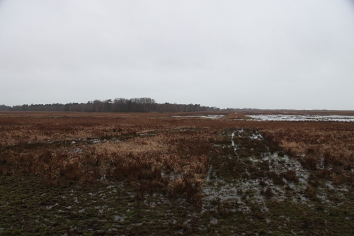
| 14:45, 21 July 2011 | Huettelmoor view.JPG (file) |  |
121 KB | Thomas | view from the North into the Hüttelmoor | 1 |