File list
Jump to navigation
Jump to search
This special page shows all uploaded files.
| Date | Name | Thumbnail | Size | User | Description | Versions |
|---|---|---|---|---|---|---|
| 05:23, 1 May 2007 | Panola gauge.JPG (file) |  |
42 KB | Ilja | PMRW lower (41 ha) gauge | 1 |
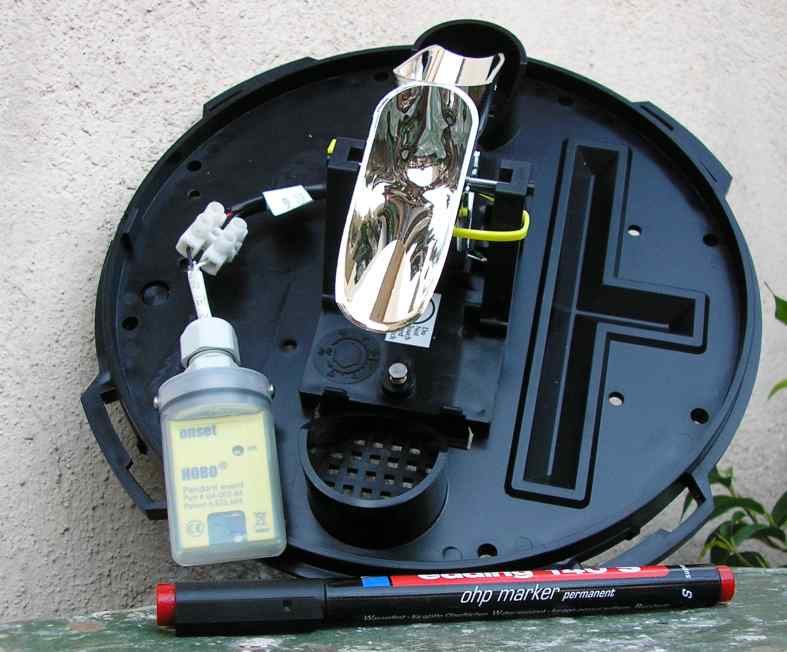
| 13:46, 8 March 2007 | Westerbork setup2.jpg (file) |  |
42 KB | Miriam Gerrits | 1 | |
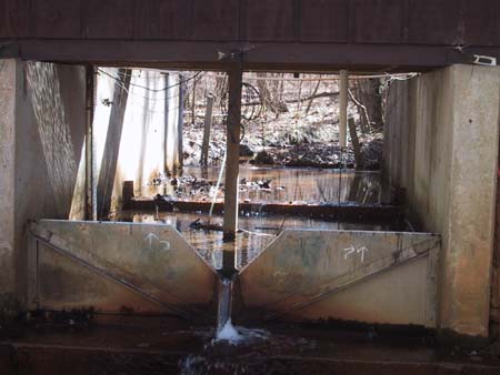
| 22:54, 7 August 2007 | WeirAccumulationDrainage.jpg (file) |  |
44 KB | Ban | Accumulation and Drainage of the Water for the weir construction | 2 |
| 11:51, 3 April 2012 | HoellensteinHeadwaterCatchment.jpg (file) |  |
44 KB | Ban | 2 | |
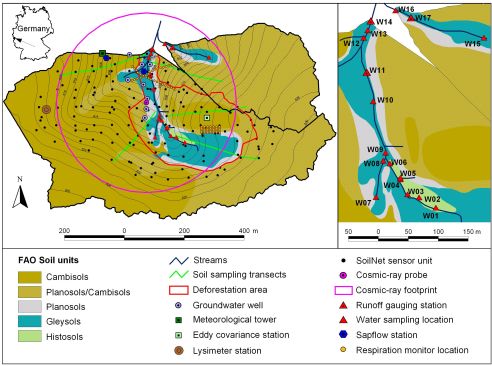
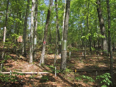
| 12:24, 9 September 2016 | Wüstebach map.jpg (file) |  |
46 KB | Bogena | Map showing the soil types and monitoring instrumentation of the Wüstebach catchment | 2 |
| 13:49, 8 March 2007 | Bot garden2.jpg (file) |  |
49 KB | Miriam Gerrits | 1 | |
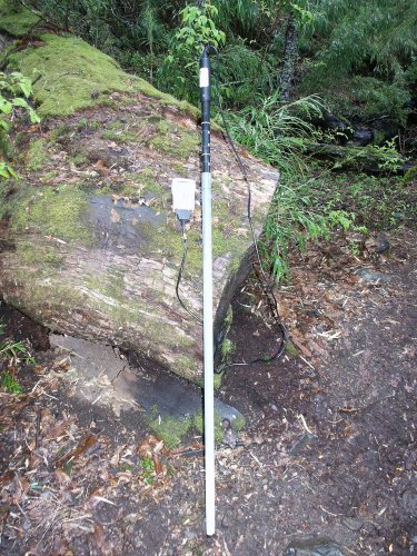
| 12:27, 31 January 2008 | ECprobe.jpg (file) |  |
49 KB | Theresa | 1 | |
| 22:10, 9 July 2009 | Image1.jpg (file) |  |
51 KB | Dk9uv | 1 | |
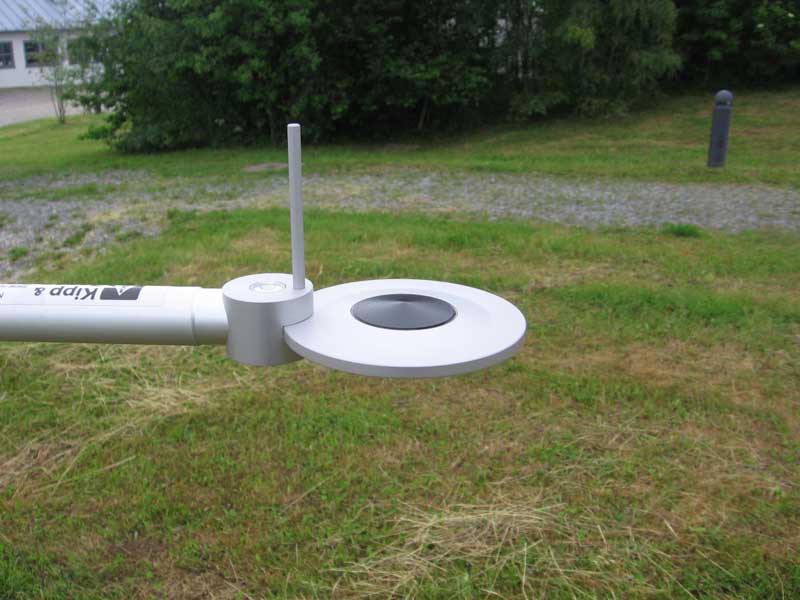
| 18:49, 9 August 2007 | Net-radiometer.jpg (file) |  |
51 KB | Ban | Net radiometer NR Lite | 1 |
| 05:22, 1 May 2007 | Panola trench.JPG (file) |  |
53 KB | Ilja | PMRW trench | 1 |
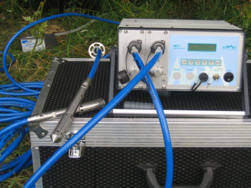
| 09:33, 19 September 2011 | MFT-2.JPG (file) |  |
53 KB | Till | Sommer MFT-2 fluorimeter | 1 |
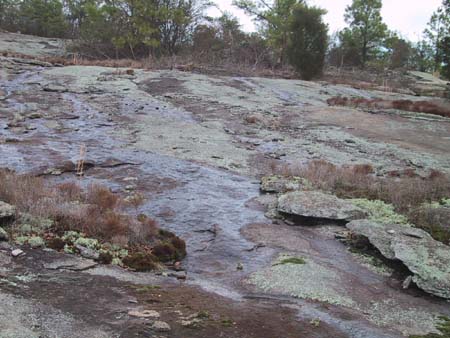
| 05:23, 1 May 2007 | Panola outcrop.JPG (file) |  |
56 KB | Ilja | PMRW outcrop | 1 |
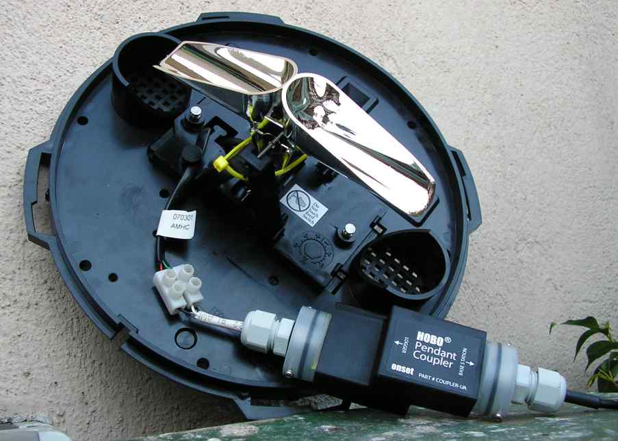
| 12:59, 23 July 2007 | GageAndLogger WithoutCoupler.jpg (file) |  |
58 KB | Dkneis | 1 | |
| 17:09, 11 February 2016 | ChickenCreek.png (file) |  |
58 KB | Wgerwin | 2 | |
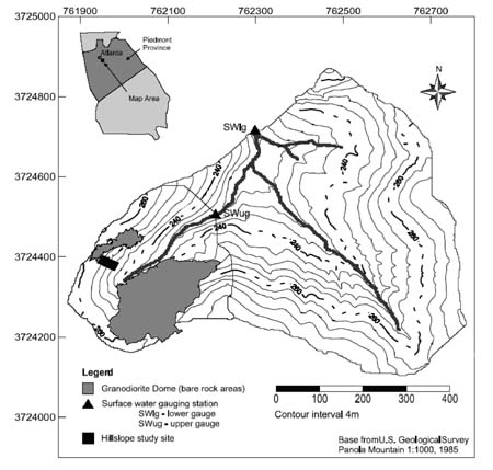
| 01:23, 1 May 2007 | Panola map.jpg (file) |  |
58 KB | Ilja | PMRW map | 1 |
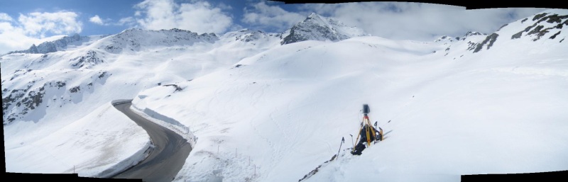
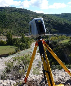
| 09:48, 26 April 2013 | TribleGX Panorama.jpg (file) |  |
59 KB | Till | Scanning snow cover using the Trimble GX in the Kaunertal, Austria. | 1 |
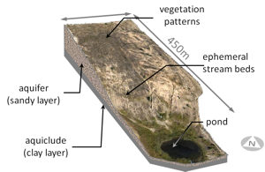
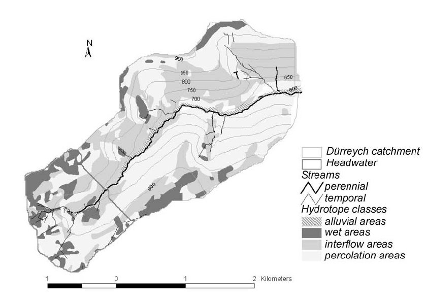
| 11:39, 12 August 2011 | Dyrreych catchment.jpg (file) |  |
61 KB | Thomas | Dürreich catchment | 2 |
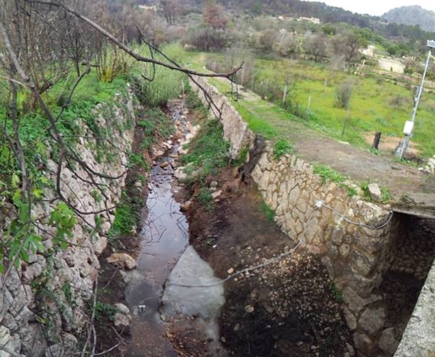
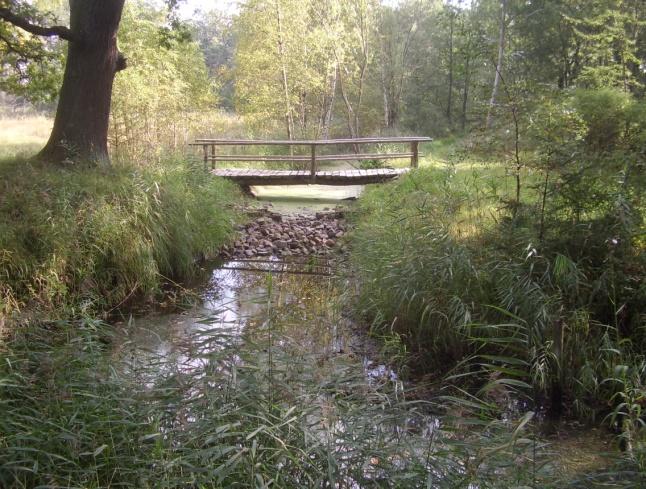
| 14:04, 19 February 2016 | Sa Font de la Vila gauging station.jpg (file) |  |
64 KB | Thomas | Example of a measuring station: the Sa Murtera gauging station | 1 |
| 17:32, 31 May 2011 | Trimble gx.jpg (file) |  |
64 KB | Till | Trimble GX laser scanner in oblique setup to look downward | 2 |
| 12:58, 23 July 2007 | GageAndLogger WithCoupler.jpg (file) |  |
64 KB | Dkneis | 1 | |
| 19:56, 22 July 2011 | Dyreich badenwürttemberg.GIF (file) |  |
64 KB | Thomas | location of the dyrreich catchment | 1 |
| 17:22, 6 October 2010 | IMG 2598.jpg (file) |  |
65 KB | Theresa | 2 | |
| 11:34, 8 November 2013 | Q P Huewellebach.png (file) |  |
66 KB | Thomas | Anual responce of P and Q in the Huewellebach | 1 |
| 09:43, 19 September 2011 | Dippingrod.JPG (file) |  |
68 KB | Till | dipping rod according to Jens | 1 |
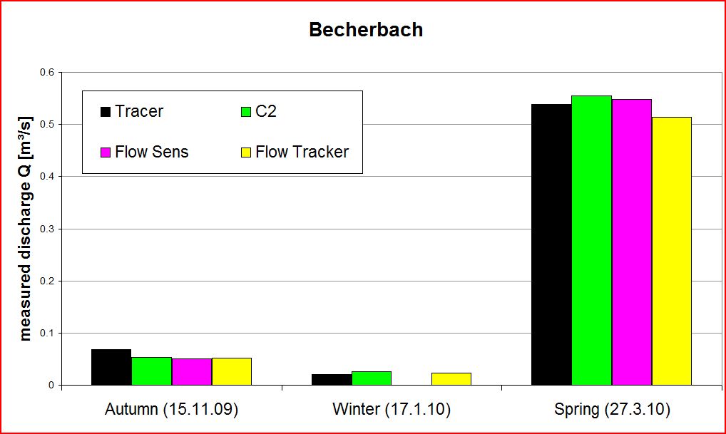
| 15:34, 3 August 2010 | Becherbach Wiki.JPG (file) |  |
68 KB | Janek Dreibrodt | 1 | |
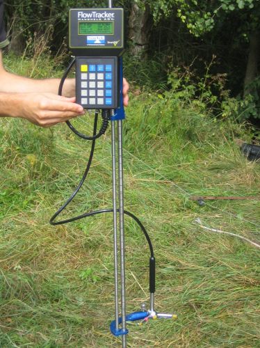
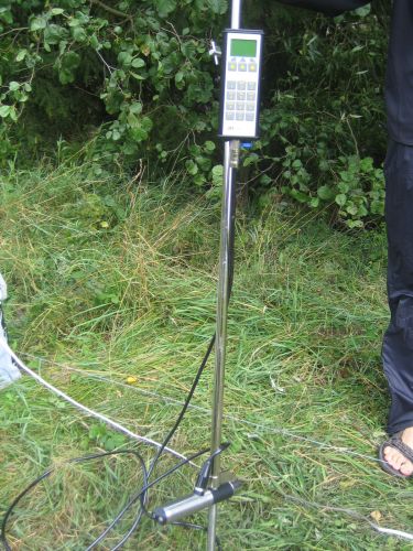
| 09:23, 19 September 2011 | Flowtracker.JPG (file) |  |
69 KB | Till | Flowtracker discharge measurement device | 1 |
| 09:25, 19 September 2011 | ADC.JPG (file) |  |
72 KB | Till | Ott ADC discharge measurement device | 1 |
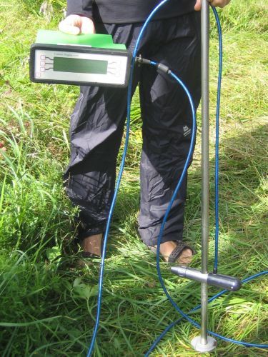
| 09:19, 19 September 2011 | Flowsens.JPG (file) |  |
72 KB | Till | Flowsens flow velocity/discharge measurement | 1 |
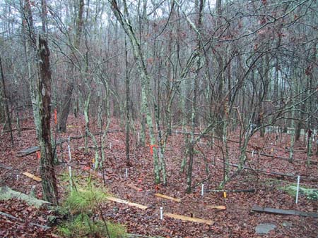
| 05:22, 1 May 2007 | Panola hillslope winter.jpg (file) |  |
74 KB | Ilja | PMRW hillslope during the winter | 1 |
| 14:36, 21 July 2011 | Sohlschwelle.jpg (file) |  |
75 KB | Thomas | groundsill Hüttelmoor | 1 |
| 15:34, 3 August 2010 | Weißeritz Wiki.JPG (file) |  |
75 KB | Janek Dreibrodt | 1 | |
| 21:54, 7 August 2007 | Planning.jpg (file) |  |
75 KB | Ban | Planning of the construction of a v notch weir | 1 |
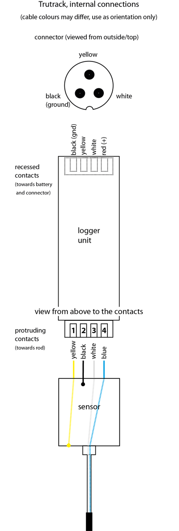
| 14:29, 15 April 2016 | Tt connections.png (file) |  |
76 KB | Till | Trutrack internal connections (pin configuration) | 2 |
| 05:21, 1 May 2007 | Panola hillslope summer.JPG (file) |  |
78 KB | Ilja | PMRW hillslope during the summer | 1 |
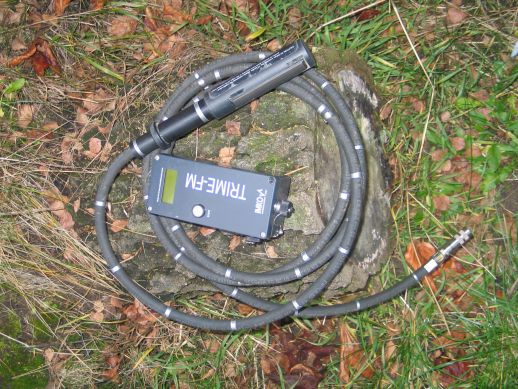
| 17:20, 6 October 2010 | Trime access tube probe.jpg (file) |  |
79 KB | Theresa | 2 | |
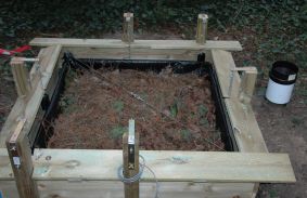
| 12:16, 25 July 2007 | Wiki interception.pdf (file) | 82 KB | Savenije | Text for Article on Interception | 1 | |
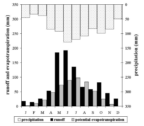
| 15:59, 12 November 2013 | Climatic conditions Rio Vauz.png (file) |  |
83 KB | Thomas | Climatic conditions in the lower Vauz catchment | 1 |
| 14:52, 20 July 2021 | Test.jpg (file) |  |
90 KB | Till | 1 | |
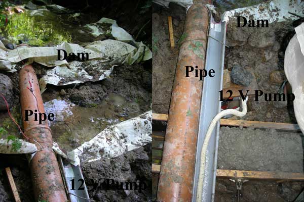
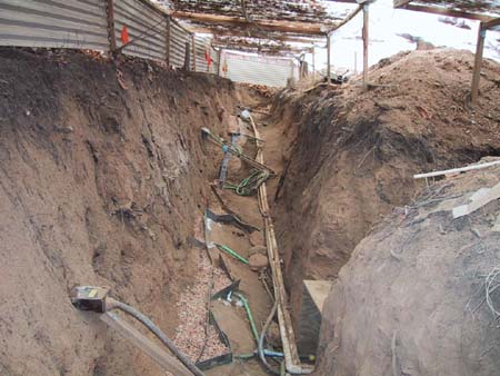
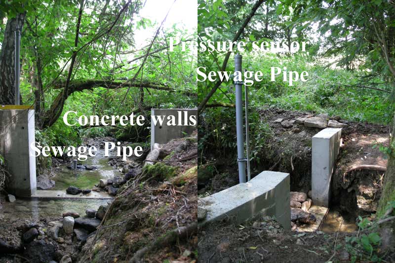
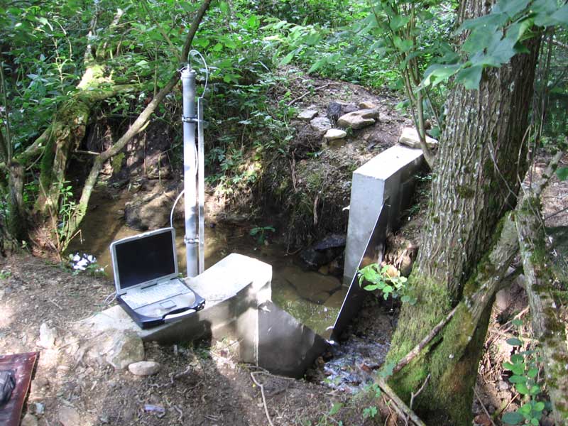
| 11:10, 8 August 2007 | WeirConcreteWallsSewagePipe.jpg (file) |  |
96 KB | Ban | Discased weir, water level sensor and sewage pipe | 1 |
| 14:46, 29 January 2008 | Profileprobe PR1.jpg (file) |  |
100 KB | Theresa | 1 | |
| 11:31, 8 August 2007 | VnotchWeir.jpg (file) |  |
101 KB | Ban | Construction of a V notch weir / Thomson weir | 1 |
| 21:47, 9 April 2007 | T4 field.JPG (file) |  |
104 KB | W75 | 1 | |
| 21:49, 9 April 2007 | T4 field.jpg (file) |  |
104 KB | W75 | 1 | |
| 15:14, 20 July 2011 | Rehefeld meteostation.jpg (file) |  |
109 KB | Thomas | meteorological station Rehefeld Weisseritz | 1 |
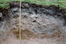
| 10:21, 5 April 2016 | BodenPROFIL1.png (file) |  |
112 KB | Thomas | Typical soil profile of a Podzol in the Duerreich catchment | 1 |
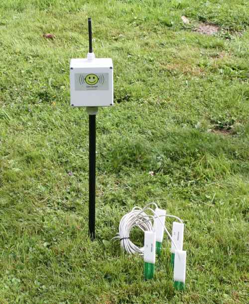
| 23:33, 8 July 2009 | SoilNet Router.jpg (file) |  |
113 KB | Theresa | 1 | |
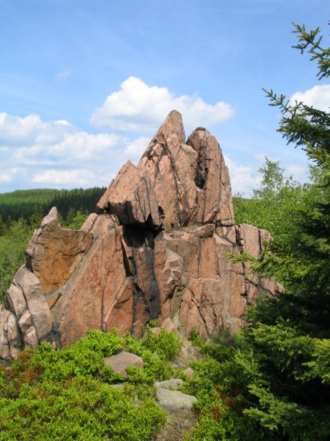
| 15:27, 20 July 2011 | Pramenac.jpg (file) |  |
120 KB | Thomas | basalt block at the Pramenac mountain Weisesseritz | 1 |
| 17:10, 6 October 2010 | IMG 2603.jpg (file) |  |
121 KB | Theresa | 3 | |
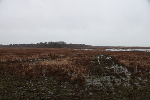
| 14:45, 21 July 2011 | Huettelmoor view.JPG (file) |  |
121 KB | Thomas | view from the North into the Hüttelmoor | 1 |
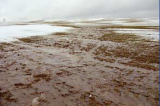
| 09:40, 13 October 2011 | Snow overland flow schaefertal.png (file) |  |
122 KB | Thomas | overland flow on snow cover Schäfertal | 1 |